Pest and Disease Detection – Early Warning with Satellite and Weather Data

Diseases and pests often appear in satellite imagery before they become visible to the naked eye. When combined with weather data that promotes disease development, Agdir can issue early warnings and suggest preventive measures. This allows you to act before damage becomes extensive and costly to fix.
Early Detection with Satellites – See Stress Before Damage Appears
Satellites detect reduced photosynthesis and changes in leaf structure before visible symptoms occur. Combined with weather conditions that favor disease or pest pressure, warnings can arrive 1–2 weeks earlier than traditional observation methods.
Typical Satellite Patterns for Disease and Pest Presence
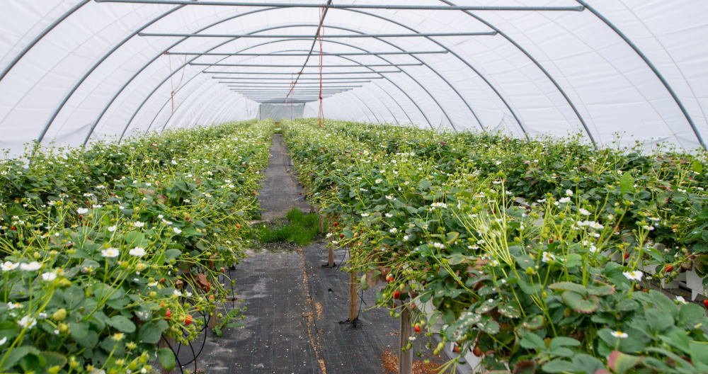
Diseases
· Patchy NDVI reduction, often beginning in humid depressions or sheltered areas
· Radial spread from infection points across the field
· Correlation with weather history: high humidity, prolonged leaf wetness
Pests
· More diffuse NDVI reduction, often starting along field edges
· Geometric patterns if pests follow machine tracks or planting rows
· Correlation with temperature: warmer areas may show earlier infestations
Nutrient Stress (for comparison)
· Even NDVI reduction across larger areas, often linked to soil type
· Less patchy than disease, more related to topography
The Role of Weather Data in Disease Forecasting
High humidity + moderate temperatures
Ideal conditions for fungal diseases. NDVI changes during these periods should be examined closely.
Heat and drought
May promote pest activity but reduce disease pressure. Interpretation of NDVI decline changes accordingly.
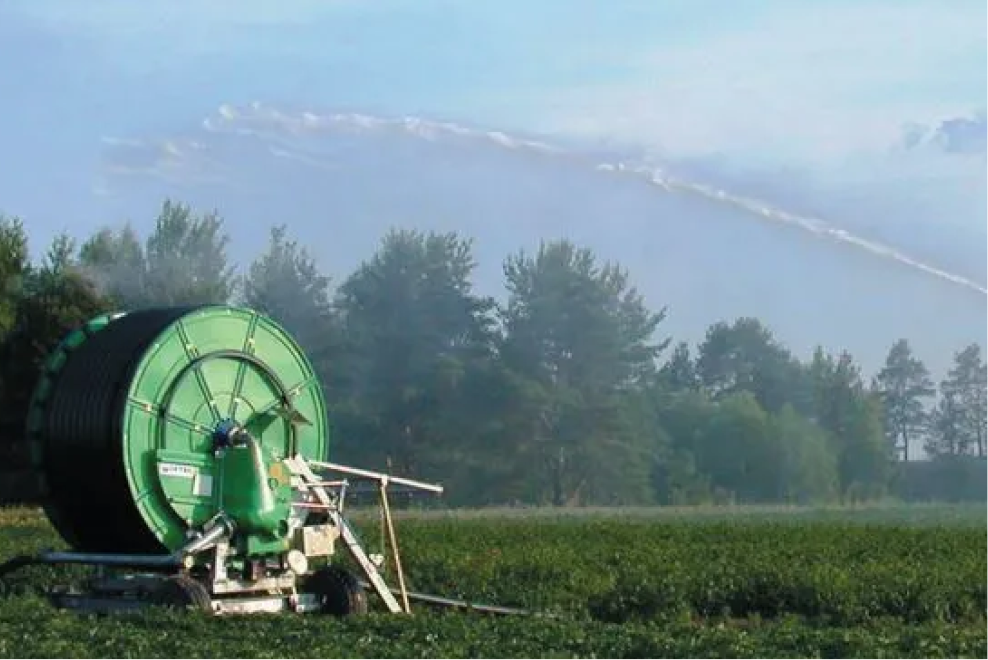
Leaf wetness periods
Rain followed by warmth encourages many fungal infections. Monitor satellite data more closely during these windows.
Practical Steps for Pest and Disease Warning
Step 1: Identify suspicious patterns
Look for patchy or irregular NDVI declines that do not follow soil or topographic boundaries.
Step 2: Check weather history
Have the past few weeks provided favorable conditions for disease or pests?
Step 3: Field verification
Visit the site to confirm or rule out disease or pest presence.
Step 4: Decide and act
Treat, monitor closely, or wait—depending on findings and upcoming forecasts.
Step 5: Document and learn
Record observations and actions in the journal to build local disease dynamic knowledge.
Combining with Other Data Sources
· Sensors: Humidity and temperature sensors confirm weather conditions that promote disease.
· Weather forecasts: Future leaf wetness periods influence treatment timing.
· Journal: Historical disease records from the same area or season.
Limitations and Realistic Expectations
Satellite imagery is an early warning tool—not a diagnostic instrument. Field verification is always needed to identify the exact issue and determine the correct treatment. Not all NDVI variations are caused by disease or pests.
Practical Tips for Preventive Treatment
· Weather-based: Treat before critical leaf wetness periods if satellite data shows strong stress patterns.
· Zone-based: Treat only affected areas when detection is early.
· Progressive: Start small—expand treatment if spread is confirmed.
Summary
Early detection of diseases and pests can save both yield and treatment costs. When satellite data is combined with weather data in Agdir, you receive alerts before problems become visible—and gain the chance to act before major damage occurs.
Set up satellite monitoring with weather triggers for high humidity and moderate temperature—and get early warnings of potential disease outbreaks.